Accurate earthwork data. On your timeline
Every service quoted to your project. Not sure what you need? We'll figure it out together..
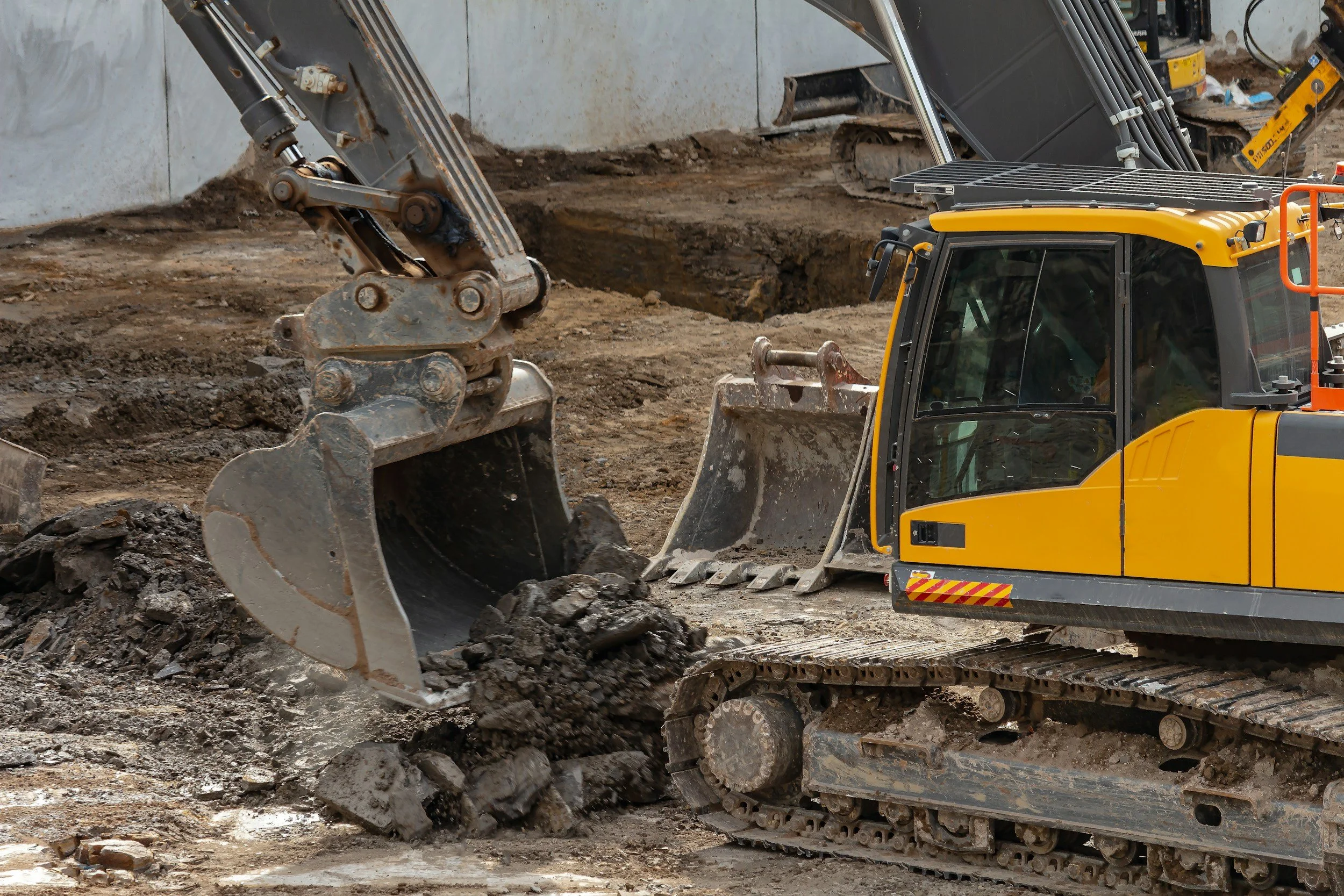
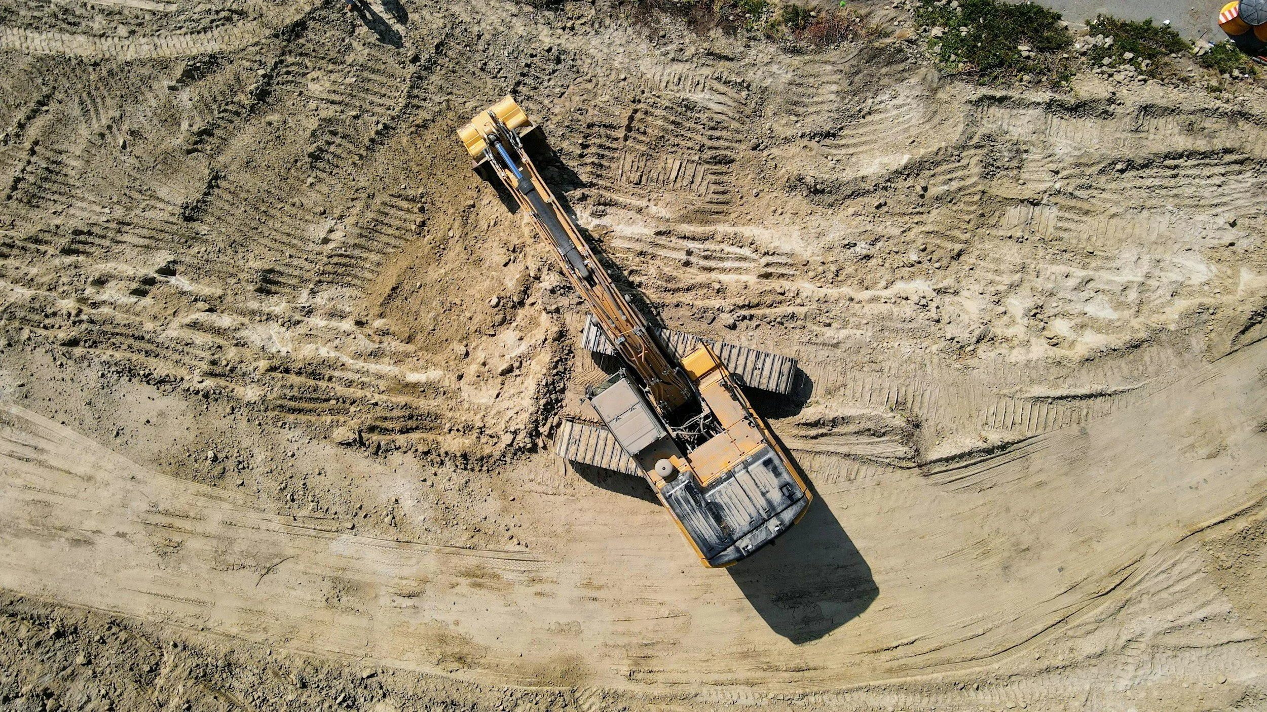
Drone Survey & AGTEK
-
48 HRS · 24 HRS RUSH
We fly the site and run a full quantity takeoff before bid day — every cubic yard accounted for before you write a number. Processed through AGTEK Reveal and Gradework to produce a verified digital surface model and cut/fill report. Delivered as a contractor-ready PDF with quantity tables, mass haul diagram, and georeferenced orthomosaic.
Includes:
Georeferenced orthomosaic
Digital surface model
Cut/fill quantity table (CY)
Mass haul diagram
Written project summary
Site condition photos
Written project summary
-
MONTHLY DELIVERY
Monthly drone surveys that tell you exactly where you stand on production — quantities moved, quantities remaining, and variance from schedule. You know the numbers before the owner asks. Delivered as a progress report with cut/fill overlay comparison and written summary.
Includes:
Monthly orthomosaic
Progress quantities vs. prior period
Cumulative quantities to date
Cut/fill comparison overlay
Written observations
Site condition photos
-
48 HRS
Independent drone survey and AGTEK quantity check run against the contractor's pay app submission. Gives owners, lenders, and GCs a GPS-verified, third-party quantity confirmation before funds are released. Delivered as a written verification report with comparison table and variance analysis.
Includes:
Independent quantity survey
Comparison table vs. pay app
Variance analysis
Written summary
Site condition photos
-
48 HRS
Documents existing site conditions before any work begins — timestamped and GPS-verified. Creates a defensible baseline that protects all parties if quantities or conditions are disputed later. Delivered as a georeferenced orthomosaic with existing surface model and benchmark documentation.
Includes:
Baseline orthomosaic
Existing surface model
Benchmark documentation
Site condition photos
-
48 HRS
Aerial survey and quantity verification for quantity disputes, change order support, or legal proceedings. GPS-verified, timestamped, and tied to a documented coordinate system — built to hold up if it needs to. Delivered as a written report with supporting orthomosaic and quantity summary.
Includes:
Timestamped orthomosaic
Quantity verification
Written documentation summary
-
48 HRS Pre/Post Grading Comparison
Before and after aerial surveys with a cut/fill overlay showing exactly what moved and where. Gives you clean documentation for scope completion, change order support, or owner closeout. Delivered as a side-by-side orthomosaic comparison with scope completion documentation.
Includes: Before + after orthomosaics · Cut/fill comparison overlay · Scope completion documentation
// 48 HRS As-Built Survey
Final aerial survey comparing finished grade to design surface. Documents what was built against what was designed, with a quantity variance report for project closeout. Delivered as a final orthomosaic with as-built vs. design comparison and written summary.
Includes:
Final orthomosaic
As-built vs. design comparison
Quantity variance report
Written summary
-
48 HRS As-Built Survey
Final aerial survey comparing finished grade to design surface. Documents what was built against what was designed, with a quantity variance report for project closeout. Delivered as a final orthomosaic with as-built vs. design comparison and written summary.
Includes:
Final orthomosaic
As-built vs. design comparison
Quantity variance report
Written summary
GPS Machine Control

-
48 HRS · 24 HRS RUSH
Machine control models built from your design files and delivered ready to load — no conversion work on your end. Trimble or Topcon format, Nebraska State Plane NAD83, matched to your control points. We confirm the model loads and displays correctly before closing the job.
Includes:
Model file in native format (.gc3 / .tp3)
Coordinate system documentation
Control point summary
Load confirmation
-
ON-SITE
On-site base station setup, benchmark verification, and GPS calibration before grading begins. Makes sure your machine control system is dialed to the right coordinate system and benchmark before the blade touches the ground. Calibration report delivered same day.
Includes:
RTK calibration
Benchmark verification
Calibration report
-
24 HRS
Existing machine control model updated for design changes, addenda, or field revisions. Faster turnaround than a new build — delivered within 24 hours of receiving updated design files in your native Trimble or Topcon format.
Includes:
Revised model file
Updated delivery documentation

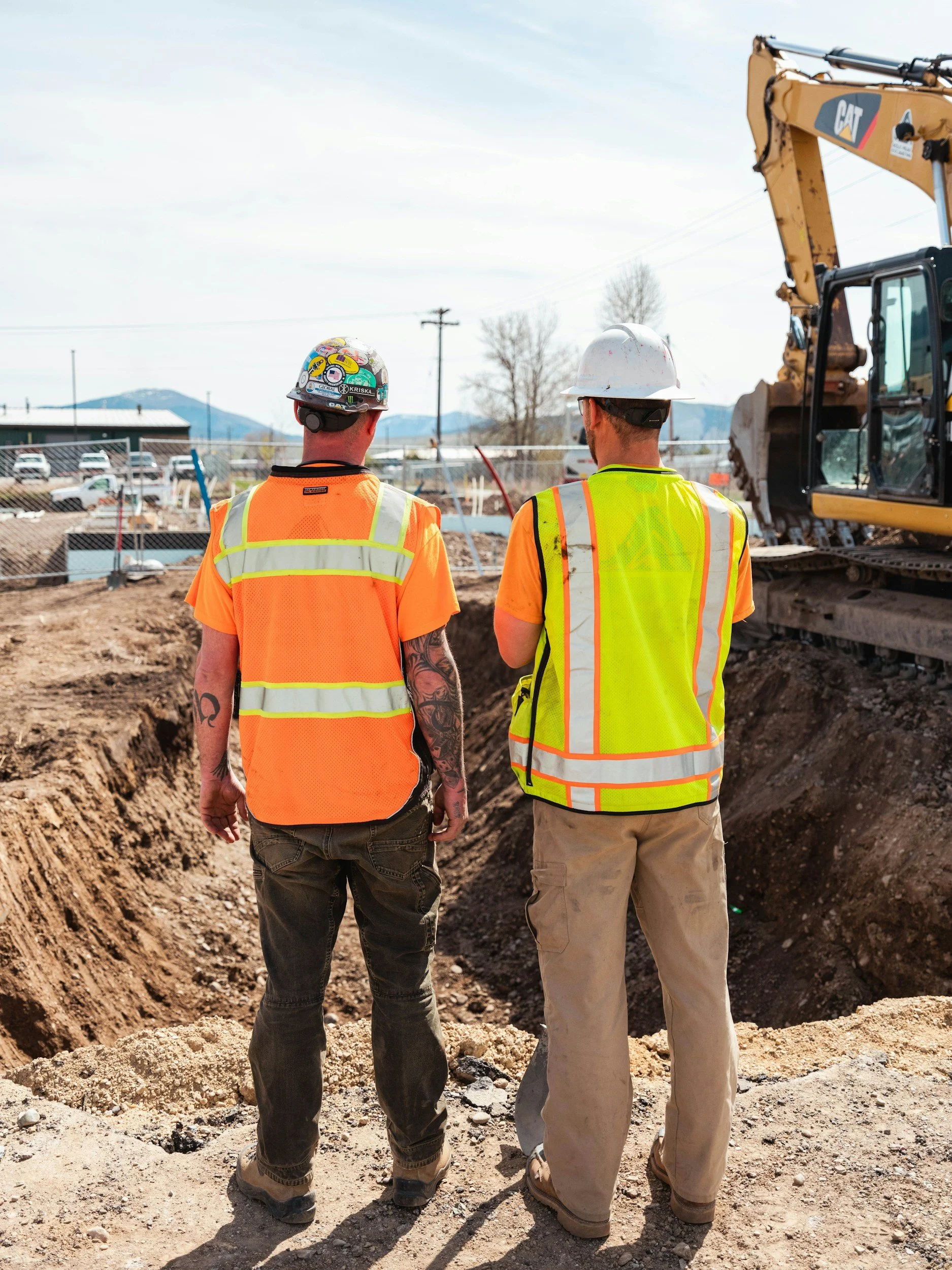
Construction Monitoring
-
SAME DAY OR NEXT DAY
Single-visit drone survey documenting current site conditions — aerial and ground level, written observations included. Captures where the job stands at a specific point in time with a timestamped, georeferenced orthomosaic. Delivered as a written report with full photo documentation.
Includes:
Current orthomosaic
Progress observations
Ground-level site condition photos
Written report
-
WEEKLY DELIVERY
Weekly drone surveys with quantity reporting and written observations for jobs that move fast or carry active lender draw schedules. Every visit is documented and timestamped. Delivered weekly as a progress report with quantities and full photo documentation.
Includes:
Weekly orthomosaics
Progress quantities
Photo documentation
Written weekly summary
-
MONTHLY DELIVERY
Monthly site visits with drone survey, quantity reporting, and written progress summary. Includes ground-level site condition photography on every visit. Delivered as a formatted progress report — the most straightforward monitoring option for standard construction timelines.
Includes:
Monthly orthomosaic
Progress quantities
Site condition photos
Written monthly summary
Next visit scheduling
-
48 HRS
Formal progress report built for lender draw review and owner or investor reporting. Covers aerial documentation, percentage complete by work area, written observations, and site condition photography. Delivered within 48 hours of the site visit as a formatted PDF.
Includes:
Formatted progress report
Aerial documentation
Percentage complete by area
20+ site condition photos
Written summary
-
48 HRS
Drone survey and volume calculation for individual stockpile inventory tracking. Each pile is measured and mapped independently, with boundaries marked on the orthomosaic. Delivered as an inventory summary report with volume by pile in cubic yards.
Includes:
Drone survey
Volume by pile (CY)
Inventory summary report
Consulting and Advisory

-
ON-SITE
Blue tops and slope stakes set from the GPS machine control design surface, matched to the existing coordinate system on the job. Keeps layout tied to the same surface the machines are running — no translation errors between stake source and model. Field notes delivered same day.
Includes:
Blue tops
Slope stakes
Grade layout from design surface
Field notes
-
SAME DAY OR NEXT DAY
Expert review of earthwork quantity takeoffs and bid strategy, drawing on 25 years of AGTEK estimating experience. We go through the quantities, flag anything that looks off, and give you a straight answer on where the numbers stand. Delivered as a written summary with recommendations before bid day.
Includes:
Quantity review
Written or verbal briefing
Recommendations
-
ONGOING
Full-service annual agreement covering drone survey, machine control, monitoring, and consulting at a flat monthly rate. One invoice, priority scheduling, no per-job paperwork. Designed for contractors and developers who want QDS as a dedicated partner on every job, year-round.
Includes:
All services at negotiated rates
Priority scheduling
Monthly invoicing
Dedicated account management