Built by an Earthwork Estimator.
QDS Consulting is a Lincoln, Nebraska-based earthwork intelligence firm specializing in drone survey, AGTEK analysis, GPS machine control, and construction monitoring for grading contractors and developers across the region.
That distinction matters. When you hire QDS, you're getting someone who has spent 25 years inside AGTEK and 20 years running Gradework — someone who knows what a cut/fill report needs to say, what a machine control model needs to do, and what a contractor actually needs to get the job done.
We're not a drone company that learned earthwork. We're an earthwork company that added drones.
Credentials
25 Years AGTEK Earthwork Estimating
FAA Part 107 Certified
Field Surveying Experience
Heavy Equipment Operation Background
Fully Insured
Lincoln, Nebraska Based
Owner & Principal
Matt Westling
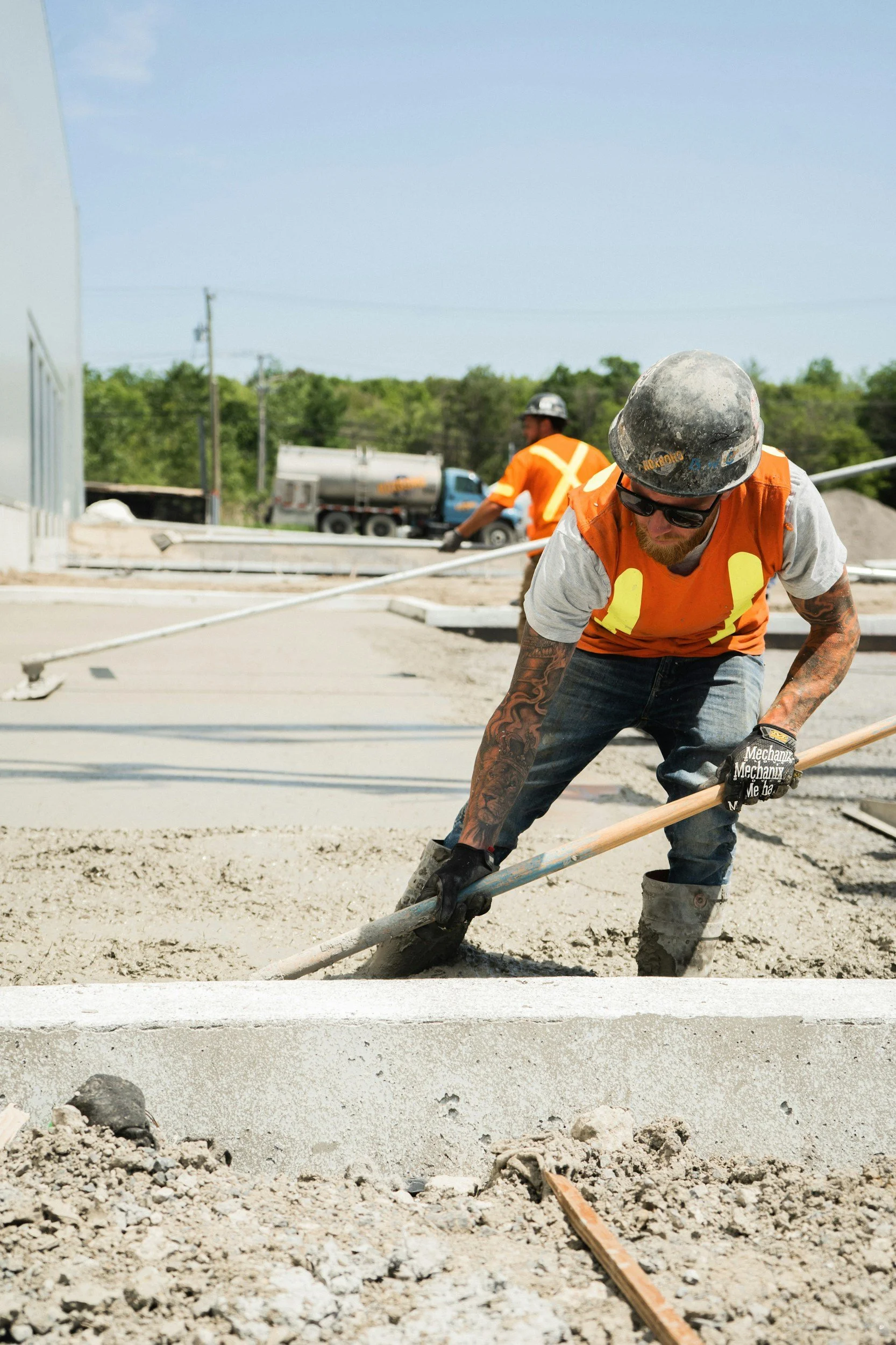
Matt Westling founded QDS Consulting after nearly three decades of earthwork estimating and field experience. His background spans 25 years of AGTEK earthwork estimating, 20 years of Gradework software, field surveying, and hands-on heavy equipment operation — a combination that gives QDS a ground-level understanding of construction that most drone operators don't have.
Matt holds FAA Part 107 Remote Pilot certification and carries full liability insurance on every flight. QDS operates out of Lincoln, Nebraska and serves contractors across eastern Nebraska and the surrounding region.
Who we are
equipment
We Show Up Prepared Every site visit starts with ground-level condition documentation before the flight. GPS-verified, timestamped photos establish pre-survey site conditions — protecting you and us if questions come up later.
We Deliver What Contractors Actually Use Our reports are built around what grading contractors, project owners, and lenders need to make decisions — not what looks good in a portfolio. Quantity tables. Cut/fill analysis. Machine-ready models. Clean reports that get to the point.
We Turn It Around Fast Standard delivery is 48 hours. Rush in 24. Your schedule doesn't wait on data processing, and neither do we.
We Stand Behind the Numbers RTK GPS control on every survey. Centimeter-level accuracy. Defensible for pay apps, lender draws, and dispute documentation.
QDS uses professional-grade equipment on every job — survey-grade hardware paired with the industry-standard software that grading contractors trust.
Anzu Raptor RTK — Professional mapping drone with integrated RTK GPS. Centimeter-level positional accuracy without ground control points.
Emlid RS4 Rover — Survey-grade RTK GPS for ground control verification, benchmark checks, and grade staking. Same receiver used for machine control calibration.
D-RTK 3 Base Station — On-site RTK base station for flights where NTRIP connectivity isn't available. Consistent, repeatable positioning on every job.
AGTEK Reveal — The industry standard for earthwork photogrammetry and quantity analysis. Every drone survey we deliver is processed here.
AGTEK Gradework — Where machine control models are built and cut/fill reports are produced. Twenty years of daily use on real jobs.